
Decoding Verra’s VM0047: An Eligibility Checklist for Verra’s Afforestation, Reforestation, and Revegetation (ARR) Methodology
Navigating the complexities of achieving compliance and eligibility under various carbon methodologies can be quite challenging. Let’s break down what you need to know about Verra’s new Afforestation, Reforestation, and Revegetation methodology, VM0047, and how using geospatial analysis can help big time!
Content Overview
- Recap: What's VM0047?
- Choosing Your Approach: Area-Based vs. Census-Based
- Understanding Applicability Conditions in VM0047
- How Geospatial Intelligence Makes a Difference
- Potentials & Limitations of Using Public Datasets for Eligibility Analysis
- Maya Case Study Insights
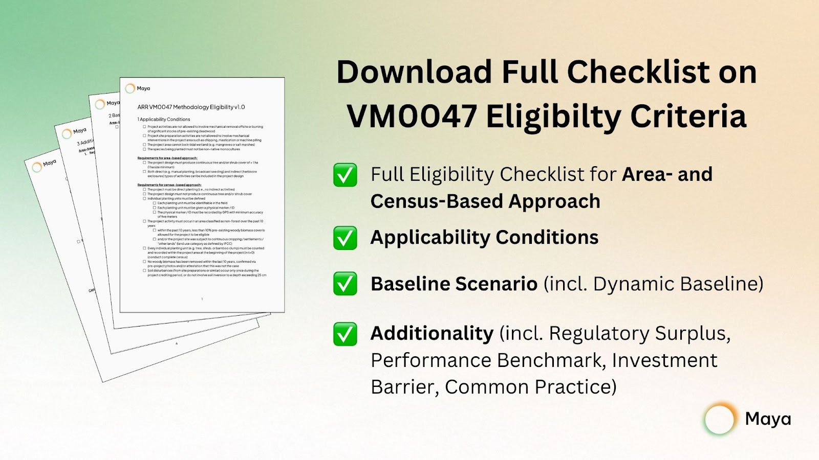
What to expect from the full checklist available for download? The checklist provides a detailed guide on assessing project eligibility under VM0047, covering all necessary steps from applicability conditions, baseline scenario, to additionality.
Please note that this blog post focuses exclusively on the Applicability Conditions required for eligibility under the VM0047 methodology. The complete checklist is available for download.
Recap: What’s VM0047?
VM0047 refers to a methodology under the Verified Carbon Standard (VCS), focusing on Afforestation, Reforestation, and Revegetation (ARR). It provides guidelines for projects aiming to create or restore vegetation cover to generate carbon credits by capturing carbon dioxide from the atmosphere. It was published in September 2023 and replaced the prior methodologies AR-ACM0003 (Afforestation and reforestation of lands except wetlands) and AR-AMS0007 (Afforestation and reforestation project activities implemented on lands other than wetlands) from the Clean Development Mechanism.
Choosing Your Approach: Area-Based vs. Census-Based
Under VM0047, you have the option to select between two approaches for your project. Note that both approaches could be used in the same project, though their areas must be distinct and non-overlapping:
- The area-based approach is used for projects where the main goal is to create a continuous area of trees or shrubs that covers more than one hectare. This approach is great for large-scale projects aiming to significantly increase vegetative cover.
- The census-based approach is designed for small project areas, where direct planting of individual trees, shrubs, or bamboo clumps is the primary activity, and these can be comprehensively counted. This approach is most applicable in scenarios where creating a vast, continuous canopy isn't the goal—such as in urban forestry, agroforestry, or small-scale revegetation projects that do not meet the criteria for being classified as forests.
Understanding Applicability Conditions in VM0047
The applicability conditions are essentially the initial set of rules a project must align with to proceed further in the methodology application process. In the case of the VM0047, the applicability conditions specify the types of activities allowed, the geographic or ecological settings in which projects can be situated, and any particular environmental or operational standards that must be observed. Fulfilling these conditions is a necessary first step, but it's not sufficient on its own for a project to be fully eligible under the methodology. Additional criteria and requirements must be met for the project to achieve full eligibility with VM0047, e.g., demonstrating additionality, details of which are available for download.
First off, VM0047 has a few basic rules for projects, independent of the approach chosen:

Applicability Conditions for the Area-Based Approach
The area-based approach has a relatively straightforward checklist for the applicability condition. The challenge lies more within the dynamic baselining and calculating the so-called stocking index, which are included in the full checklist available for download. Please note that a 10-year historical land cover assessment is part of the baseline calculation and thus not yet part of the applicability conditions, unlike with the census-based approach.

Applicability Conditions for the Census-Based Approach
To apply the census-based approach, certain requirements must be met. These rules ensure accurate inventorying and monitoring of planting units, as well as making sure that the project area has not been forested for the last 10 years before project start.

How Geospatial Intelligence Makes a Difference
- Understand Your Project Area Early On: Before you start, you need a clear picture of the land where you intend to plant. Consider utilising satellite imagery in the initial stages to assess the project’s eligibility, before conducting an on-site visit.
- Historical Land Use Assessment: Given the requirement that 'project activity must occur in an area classified as non-forest over the past 10 years', conducting a historical land analysis by utilising satellite imagery is essential. This assessment will determine if the land has been forested or deforested within the last 10 years, thereby impacting its eligibility for registration under VM0047.
- Inform your Project Planning and Registration Process: Based on the 10-year deforestation criteria, you can strategically register planting units as soon as their plot has not been deforested for at least 10 years. Satellite intelligence can help you to assess areas of the analysed project site that might have been deforested 10, 8 or 6 years ago, to successively register them under VM0047 in year t = 0, t = 2 and t = 4. This way, satellite imagery can inform your whole project and verification and registration planning.
Potentials & Limitations of Using Public Datasets for Eligibility Analysis
To assess compliance with the 10-year non-forest criterion, one would conduct a geospatial land cover analysis and validate the findings with a forest cover analysis if required. The most commonly used and publicly available datasets would be the following:

Publicly available datasets for geospatial land cover and forest cover analysis offer valuable insights but come with limitations that can affect the scope and accuracy of the analysis:
- Resolution: Higher resolution datasets allow for more precise geospatial analysis, but come at greater costs for data collection and are thus often proprietary and ideal for detailed analysis in later stages of a site assessment. While one should pick the highest resolution for their analysis whenever possible, a 10m resolution is totally sufficient for early-stage site analyses.
- Availability Over Time: Most publicly available datasets for land and forest cover are not continuously available over the last ten years. This limitation suggests that relying on a single dataset might not be adequate for assessing the 10-year non-forest criterion of Verra’s VM0047 methodology. Consequently, multiple sources need to be combined to obtain a full historical perspective.
- Clouds: Clouds can interfere with the view from satellites to the Earth’s surface, directly affecting the clarity of satellite imagery. This is particularly problematic for analyses that rely on clear views, such as the Normalized Difference Vegetation Index (NDVI), where cloud cover can significantly reduce accuracy. The satellite sensors would capture the reflectance from the clouds instead of the vegetation or land surface, thus misleading the analysis.
Maya Case Study Insights
This case study presents geospatial analysis results from two different sites on Maya. For this example, a land cover analysis using the Dynamic World dataset, which is only available from mid-2015, was conducted. To extend the analysis over the full ten-year period prior to the project's start (2014-2023), forest cover is examined, using the HANSEN dataset (available until 2021).

LEFT ❌
The site analysed on the left currently consists mostly of grassland, likely used for cattle farming. Since 2020, the land cover analysis shows a primary use for agriculture, as the site's land cover has been primarily crops. However, in 2019 and earlier, the predominant land cover was trees, suggesting that the site was forested within the last ten years. Please note that the Dynamic World dataset is only available from mid-2015 onwards.
The HANSEN forest cover dataset, which is available up to 2021, confirms that the site experienced deforestation in 2020. This violated the requirement that ‘the project activity must occur in an area classified as non-forest for the past ten years’. Therefore, both land and forest cover analyses show that this site would not be eligible for an ARR project under Verra’s VM0047 methodology. Assuming the land continues to be used for agriculture or cattle farming, the earliest it could become eligible again would be in 2030. By then, it will have not been forested for the preceding ten years (2020-2029).
RIGHT ✅
The site analysed on the right appears to have been utilized for agriculture since the beginning of the Dynamic World dataset in 2016. Further comparison with the HANSEN dataset for the years 2014 and 2015 confirms that the area as been consistently classified as non-forest since 2014. Thus, the site fulfils the ten-year non-deforestation criterion of Verra's VM0047 methodology.
Written by Delphine-Marie Zacharias 🧡
.png)